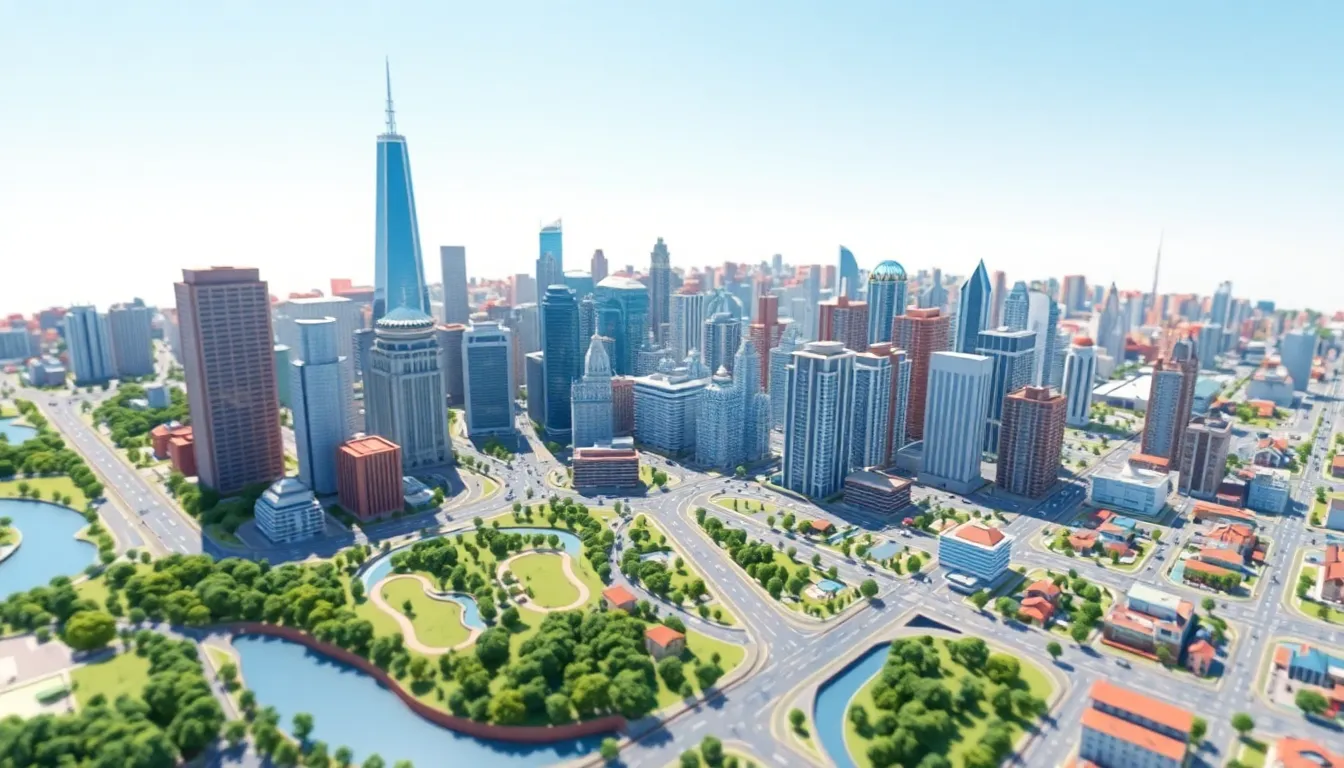
Imagine wandering through a bustling city where every street corner and skyscraper comes to life in stunning detail. Welcome to the world of 3D city modeling, where urban planning meets cutting-edge technology. This innovative approach transforms flat maps into vibrant, interactive experiences, making it easier than ever to visualize how cities evolve and thrive.
Overview Of 3D City Modeling
3D city modeling provides a detailed representation of urban environments. This technology incorporates geographic information systems (GIS), allowing for precise mapping of city layouts. Urban planners utilize these models to visualize building heights, street layouts, and landscaping.
Designers create realistic textures and lighting effects that enhance the simulated environments. These enriched visuals support better planning decisions and public presentations. Users engage with interactive elements, manipulating views to analyze urban issues effectively.
Data integration from various sources, including satellite imagery and surveys, supports the accuracy of models. The ability to simulate future development scenarios helps stakeholders understand the potential impacts of projects. Each model can represent specific neighborhoods, districts, or entire cities.
Cities around the globe showcase various applications of 3D modeling. For example, Barcelona employs 3D models for tourism promotion and urban regeneration projects. Similarly, cities like Singapore and Berlin leverage 3D modeling for infrastructure planning.
Developments in software and hardware, such as virtual reality (VR) tools, increasingly improve user experiences. Collaboration among architects, engineers, and city officials enhances the functionality of these models. Enhanced communication through visual means streamlines discussions around urban development and policy changes.
3D city modeling continues to evolve, adopting new technologies to provide robust and versatile tools. As urban areas expand, these models offer vital insights for sustainable development. The capacity to visualize complex data in immersive formats accelerates informed decision-making processes.
Importance Of 3D City Modeling
3D city modeling serves as a crucial tool in understanding urban environments, enhancing the planning and development processes. It provides intricate details that aid in addressing various city-related challenges.
Urban Planning Applications
Urban planners rely on 3D city models to visualize and assess land usage effectively. Detailed simulations allow for evaluating the impact of new developments within the existing cityscape. They facilitate simulations of zoning changes, identifying how they may influence community needs and environmental factors. Planners can create strategies that align with urban growth while incorporating community feedback. Application examples span cities like Singapore, where urban models inform both infrastructure and public transport planning, ensuring effective resource allocation and sustainable practices.
Environmental Analysis
Environmental assessments benefit from 3D city modeling by simulating scenarios that impact the urban ecosystem. These models help analyze air quality, heat islands, and green space distribution. By visualizing potential environmental changes, stakeholders can understand how urban growth may affect natural resources. They enable comparisons of various development scenarios, guiding decisions towards sustainability. Cities such as Barcelona use 3D modeling to predict environmental impacts from tourism and increased population density, supporting the design of eco-friendly initiatives and policies.
Technologies Used In 3D City Modeling
3D city modeling employs various technologies to create detailed urban representations. These tools enhance accuracy and engagement in urban planning.
Geographic Information Systems (GIS)
Geographic Information Systems (GIS) play a pivotal role in 3D city modeling. This technology enables precise mapping of spatial data, contributing to a clearer understanding of geographic layouts. Urban planners benefit from GIS by accessing layers of demographic, economic and environmental data. By integrating satellite imagery and survey data, planners visualize intricate details such as land use and transportation networks. Enhanced spatial analysis provides insights into urban dynamics and aids in informed decision-making. Cities like Atlanta and Tokyo leverage GIS for effective urban management, improving efficiency in infrastructure projects.
Building Information Modeling (BIM)
Building Information Modeling (BIM) significantly enhances the design and construction process in 3D city modeling. This technology facilitates the creation of digital representations of physical structures, emphasizing their attributes and relationships. Architects and engineers utilize BIM to collaborate seamlessly throughout the project lifecycle. Improved coordination between teams reduces errors and streamlines workflows. By incorporating detailed information on materials, timelines and costs, BIM supports efficient planning and resource allocation. Cities such as Dubai and San Francisco harness BIM to optimize development projects, ensuring adherence to design standards and sustainability goals.
Challenges In 3D City Modeling
3D city modeling presents several challenges that practitioners must address to create accurate and functional representations of urban environments.
Data Acquisition and Management
Data acquisition plays a crucial role in 3D city modeling. Gathering precise data from various sources, such as satellite imagery, ground surveys, and existing GIS databases can prove complex. Urban planners encounter difficulties in ensuring data consistency and accuracy due to discrepancies between different datasets. Effective data management is essential for integration across disparate systems, which often involves processing and cleaning data to ensure its usability. Data licensing agreements and privacy concerns further complicate acquisition efforts. Achieving reliable results requires continuous updates and maintenance of the data used for modeling purposes.
Computational Resources
Computational resources significantly impact the effectiveness of 3D city modeling. High-quality models demand substantial processing power for rendering detailed visuals and simulating realistic scenarios. Limited computational capabilities can hinder the development of intricate models, restricting flexibility and real-time interaction. Many urban planners face the challenge of accessing adequate hardware and software that can support demanding projects. Collaboration among multiple stakeholders can help address resource limitations, sharing capabilities and optimizing efficiencies. Ensuring that all parties have access to necessary technologies remains a critical task in utilizing 3D modeling effectively.
Future Trends In 3D City Modeling
3D city modeling continues to evolve, incorporating new technologies that enhance urban development strategies and planning processes.
Integration With Smart City Initiatives
Smart city initiatives incorporate 3D city modeling to improve urban efficiencies. These models provide real-time insights into infrastructure, traffic flows, and energy usage. Cities like Barcelona demonstrate how integrating data from sensors and IoT devices into 3D models can optimize public services. Stakeholders utilize this integration to enhance resource allocation and improve citizens’ quality of life. Real-time data enables planners to make informed decisions about urban growth and sustainability, ensuring that developments align with community needs. Collaboration among technology providers and urban planners fosters innovation, creating more responsive urban environments.
Advances In Visualization Techniques
Visualization techniques in 3D city modeling are becoming more advanced, making models increasingly interactive and engaging. Tools such as augmented reality (AR) and virtual reality (VR) enhance user experiences by allowing stakeholders to immerse themselves in simulated environments. Software developments lead to greater realism, with improved textures and lighting effects that mimic real-world conditions. Cities like Singapore leverage these visualization techniques for public engagement, allowing residents to visualize changes before implementation. Enhanced data visualization aids in presentations, ensuring stakeholders grasp the implications of proposed developments quickly. Adopting these cutting-edge technologies positions cities to address urban challenges effectively.
3D city modeling stands at the forefront of urban planning and development. By transforming traditional mapping into interactive and immersive experiences, it empowers planners and stakeholders to visualize and analyze urban environments more effectively. The integration of advanced technologies like GIS and BIM enhances the accuracy and detail of these models, fostering collaboration among various professionals.
As cities continue to evolve, the role of 3D modeling will only grow in importance. Its ability to simulate future scenarios and assess environmental impacts positions it as a vital tool for sustainable urban development. Embracing these innovations will help cities navigate the complexities of growth while improving the quality of life for their residents.